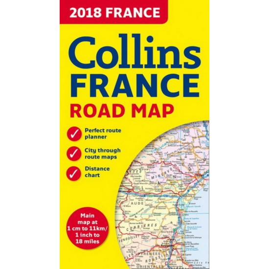
New edition of annually revised, politically coloured road map of France at 18 miles to 1 inch / 11km to 1cm (1:1,120,000). The map shows individual department by name, and cities, towns, roads, European route numbers, motorways and toll motorways are clearly shown, making it the ideal map for planning and route-finding.
The map shows the road network in detail for easy route planning. With its political colouring of departments, it is ideal for reference and business users also.
AREA OF COVERAGE
Covers the whole of France from the Belgian and German borders in the north to the Spanish border in the south, and from the Brest Peninsula in the west to the Italian and Swiss borders in the east. Also includes the island of Corsica.
2018 Collins France Road Map De Collectif
Bouquinerie petits prix
- Modèle: 113
- Disponibilité: En stock
-
4,50$
Autres produits de ce marchand
A la merci d'un courant violent De Henry Roth
5,00$ 7,00$
Le Meurtre de la falaise De Elizabeth George
8,25$ 16,50$
Laissez-moi imaginer De Quino
15,00$ 30,00$
L'Erreur est humaine De Woody Allen
5,00$ 7,00$


